Civiltec’s Largest Drone Survey To Date
Chloride Domestic Water Improvement District
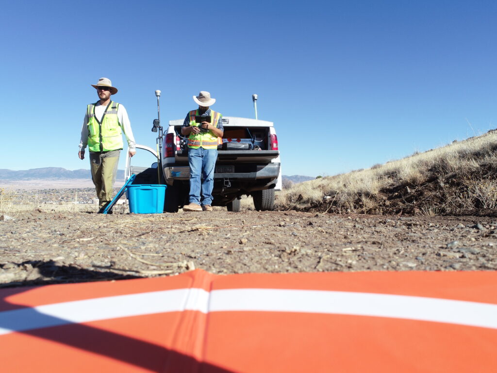
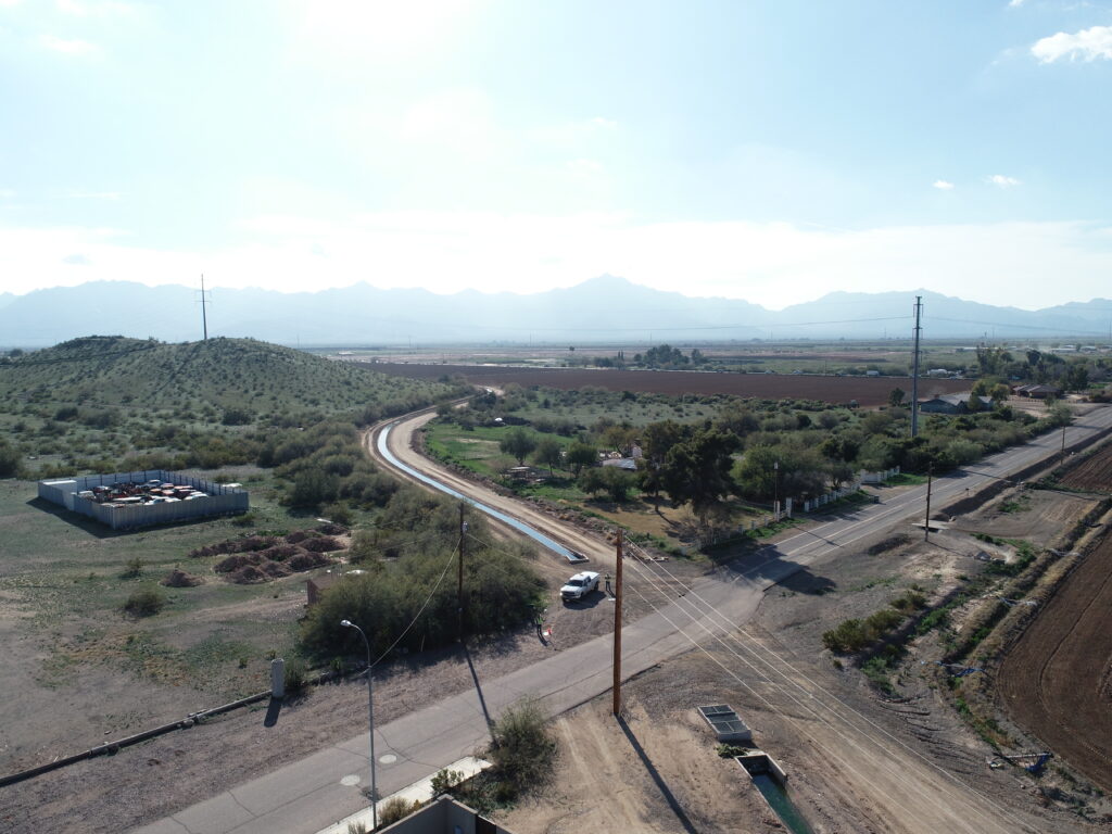
Recently we announced the beginning of our on-call work with Chloride Domestic Water Improvement District the water provider for the Town of Chloride, Arizona within Mohave County. One of our first major projects within this massive on-call is the improvement of critical infrastructure including the entire waterline distribution system. This includes over 6 miles of pipeline to be surveyed before design. Our team not only has been tasked with the engineering design of this project but also the surveying of the entire site. This marks a significant moment for our surveying crews in Arizona. As of July, they completed the largest drone flight project in Civiltec’s surveying history.
The drone flights have encompassed essentially the entire community of Chloride, AZ. Total flight time was over three hours, during which they collected over 2,900 high-quality aerial images of the project area. Nine flights were performed with thousands of photos and footage taken to get the most exact measurements and information on the project area. Flight elevation was 400 feet Above Ground Level, which should yield.1 foot accuracy on the final topographic product. The images were processed into CAD topographic linework by a subcontractor, Aerotas, which completed the processing in three weeks. The drone flights went off without a hitch, with Jesse Tilman as the Pilot-in-Command and Branden Redfern as the spotter. A lot of preparation is needed before the drone can fly; we have to check the area for any restricted flight zones, determine flight settings, and set aerial control panels with high-quality coordinates to “tie down” or georeference the imagery. Our team also notified the Mojave County Sheriff’s Office of our projected flight times, in case they received any calls from concerned citizens.
This being our largest area flown to date, we coordinated with our subcontractor, Aerotas, to make sure our flights would give them everything they would need. They helped with the pre-planning in an advisory role, giving their specific needs for distances between control points, extra flight paths, area sizing, and flight setup details. We have been very happy with Aerotas in past projects, as they have done a great job with drafting and have always been on time or ahead of delivery schedules.
Ben Tilman, PLS led the project as project manager and oversaw the actions of his team for quality. “Both Jesse Tilman and Branden Redfern did a great job performed the many flights and long field days.” Great job to our surveying team on this soaring new drone feat we cannot wait to hear more future accomplishments.
-
- DCIM100MEDIADJI_0164.JPG
-
- DCIM100MEDIADJI_0391.JPG