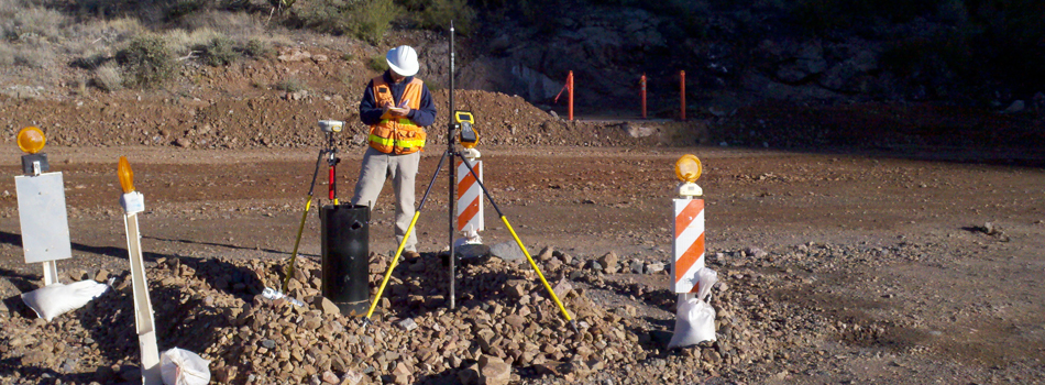
Well-identified site characteristics and accurate measurements are necessary for optimal decision-making on project development, design, costs and schedules.

Civiltec is committed to maintaining state-of-the-art technology including DJI Phantom 4 Pro Plus drones, Trimble TSC3 data collectors, Trimble R10-2 GPS receivers and Trimble robotic total stations. Our survey crews include registrants, FAA-licensed Remote Pilots and certification with Federal Mine Safety and Health Administration (MSHA) and BNSF Contractor Safety.
Service Areas
- Aerial Control Surveys
- ALTA/ACSM Surveys
- As-built Surveys
- Boundary Analysis
- Cadastral Surveying
- Construction Staking
- Control Networks
- Drone Surveys
- Easements and Legal Descriptions
- Flood Insurance Certifications
- Geodetic Surveys
- Land Divisions
- Lot Line Adjustments
- Map Preparation
- Quantity Surveys
- Record of Survey Maps
- Right-of-way Surveys
- Setback and Elevation Certifications
- Title Research and Opinions
- Topographic Surveys
- Volume and Earthwork Calculations
Delivering professional engineering, surveying and construction management solutions through communication, innovation and quality service.
